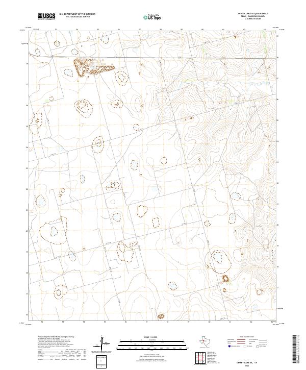
2022 Map of Dewey Lake SE
USGS Topo · Published 2022About this map
Lacy Cr and Lacy Draw characterize the drainage patterns of this high-plains landscape in Glasscock County. The terrain is defined by a sparse network of county roads, such as Co Rd 110 and Co Rd 130, which intersect the expansive rural sections. This area of West Texas reflects a modern agricultural and ranching infrastructure, where land divisions are marked by routes like Co-Op Rd and several numbered county arteries including Co Rd 125. The topography shows the subtle elevation changes common to this region, with the intermittent waterways of the Lacy Cr system serving as the primary natural landmarks amidst a grid-based human imprint. Researchers and genealogists can use these specific road alignments and water features to pin family landholdings and understand the logistical connectivity of this open country.
Find a feature on this map
11 named features on this map. Tap any name to fly to it.
Don’t see what you’re looking for? This feature index may not catch every label — zoom into the map to look around manually.
Map Details
Editions of this 2022 Dewey Lake SE Map
This is the sole edition of this map. No revisions or reprints were ever made.
Other maps of this area

1954 · San Angelo
USGS Topo · 1:250,000

1958 · San Angelo
USGS Topo · 1:250,000

1963 · Ballinger Ranch
USGS Topo · 1:24,000

1963 · Garden City
USGS Topo · 1:24,000

1964 · Dewey Lake NE
USGS Topo · 1:24,000

1965 · San Angelo
USGS Topo · 1:250,000

1965 · Dewey Lake
USGS Topo · 1:24,000

1965 · Dewey Lake SE
USGS Topo · 1:24,000

1965 · Patterson Lake
USGS Topo · 1:24,000

1973 · Bigby Corner
USGS Topo · 1:24,000