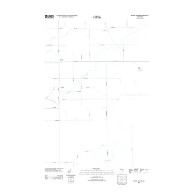
2013 Map of Dewey Marsh
USGS Topo · Published 2013About this map
Rocky Corners and Ashley anchor this rural landscape in central Wisconsin, where small-scale settlements and agricultural roads define the community structure. The terrain is marked by the presence of Blackberry Hill and the Quarry Lookout Tower, which provides a vantage point over the surrounding woods and wetlands. Waterways like the Little Eau Claire River, Johnson Cr, and Hay Meadow Cr drain the area, creating a complex hydrographic network that has shaped local land use. A curiously named landform known as the Philippine Islands lies in the southern section of the quadrangle, tucked between N Haymeadow Dr and Torun Rd. The road network is largely composed of county highways and local lanes named for early families, such as Guenther Rd and Cisewski Rd, reflecting the deep-rooted local history and genealogical ties to the land.
Find a feature on this map
41 named features on this map. Tap any name to fly to it.
Don’t see what you’re looking for? This feature index may not catch every label — zoom into the map to look around manually.
Map Details
Editions of this 2013 Dewey Marsh Map
This is the sole edition of this map. No revisions or reprints were ever made.
Other maps of this area

1899 · Wausau
USGS Topo · 1:125,000

1902 · Wausau
USGS Topo · 1:125,000

1953 · Wausau
USGS Topo · 1:48,000

1953 · Hatley
USGS Topo · 1:48,000

1955 · Rosholt
USGS Topo · 1:48,000

1955 · Green Bay
USGS Topo · 1:250,000

1956 · Stevens Point
USGS Topo · 1:48,000

1963 · Wausau
USGS Topo · 1:62,500

1964 · Hatley
USGS Topo · 1:62,500

1969 · Rosholt NW
USGS Topo · 1:24,000