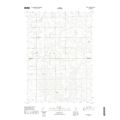
2018 Map of Dewey Marsh
USGS Topo · Published 2018About this map
Dewey Marsh dominates the landscape at the meeting point of Marathon and Portage Counties, creating a complex wetland environment where the Little Eau Claire River and Hay Meadow Cr originate. This 2018 survey reveals a terrain defined by glacial influence, where low-lying marshy expanses are punctuated by elevated features like the curiously named Philippine Islands and the rise of Blackberry Hill.
Find a feature on this map
42 named features on this map. Tap any name to fly to it.
Don’t see what you’re looking for? This feature index may not catch every label — zoom into the map to look around manually.
Map Details
Editions of this 2018 Dewey Marsh Map
This is the sole edition of this map. No revisions or reprints were ever made.
Other maps of this area

1899 · Wausau
USGS Topo · 1:125,000

1902 · Wausau
USGS Topo · 1:125,000

1953 · Wausau
USGS Topo · 1:48,000

1953 · Hatley
USGS Topo · 1:48,000

1955 · Rosholt
USGS Topo · 1:48,000

1955 · Green Bay
USGS Topo · 1:250,000

1956 · Stevens Point
USGS Topo · 1:48,000

1963 · Wausau
USGS Topo · 1:62,500

1964 · Hatley
USGS Topo · 1:62,500

1969 · Rosholt NW
USGS Topo · 1:24,000