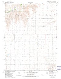
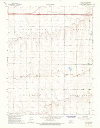
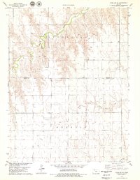
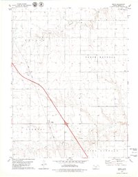
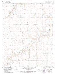
1981 Map of Dewey Ranch SE
USGS Topo · Published 1981This historical map portrays the area of Dewey Ranch SE in 1981, primarily covering Thomas County as well as portions of Rawlins County. Featuring a scale of 1:24000, this map provides a highly detailed snapshot of the terrain, roads, buildings, counties, and historical landmarks in the Dewey Ranch SE region at the time. Published in 1981, it is the sole known edition of this map.
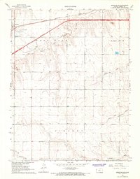
Map Details
Editions of this 1981 Dewey Ranch SE Map
This is the sole edition of this map. No revisions or reprints were ever made.
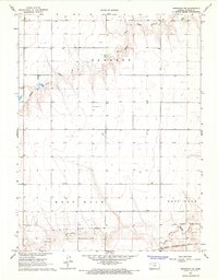
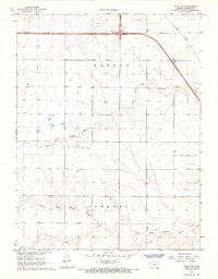
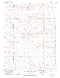
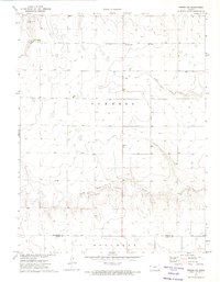
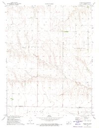
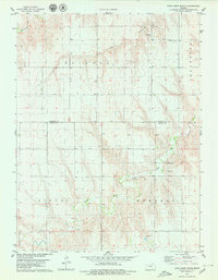
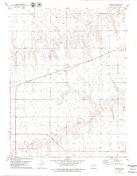
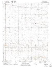
Historical Maps of Thomas County Through Time
17 maps found
1966 Brewster SE
Thomas County, KS
1967 Brewster NE
Thomas County, KS
1967 Colby SE
Thomas County, KS
1967 Colby SW
Thomas County, KS
1969 Mc Allaster NE
Thomas County, KS
1972 Winona NE
Thomas County, KS
1972 Winona NW
Thomas County, KS
1978 Achilles SE
Thomas County, KS
1978 Long Draw South
Thomas County, KS
1979 Breton
Thomas County, KS
1979 Halford
Thomas County, KS
1979 Mingo
Thomas County, KS
1979 Oakley North
Thomas County, KS
1979 Spica
Thomas County, KS
1981 Chardon SE
Thomas County, KS
1981 Chardon SW
Thomas County, KS
1981 Dewey Ranch SE
Thomas County, KS