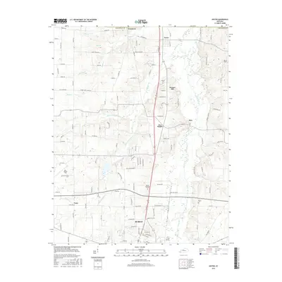
2016 Map of Dexter
USGS Topo · Published 2016About this map
Clarks River flows northward through this central portion of Calloway County, defining a landscape of low-lying wetlands and meandering creek systems like Rockhouse Cr and W Fork Rockhouse Cr. The northern edge of Murray anchors the map, showing the city's expansion toward the rural communities of Penny and Almo Heights. This 2016 survey documents a mix of agricultural heritage and modern development, where small historical settlements such as Wadesboro and Dexter sit alongside infrastructure like Kyle-Oakley Field. Genealogy researchers can identify several key burial sites, including Bethel Cem and Stewart Cem, which remain as quiet landmarks in the countryside. The road network, including the prominent north-south corridor of US Route 641, illustrates how these disparate communities have become increasingly interconnected over time.
Find a feature on this map
108 named features on this map. Tap any name to fly to it.
Don’t see what you’re looking for? This feature index may not catch every label — zoom into the map to look around manually.
Map Details
Editions of this 2016 Dexter Map
This is the sole edition of this map. No revisions or reprints were ever made.
Other maps of this area

1936 · Hazel
USGS Topo · 1:24,000

1936 · New Concord
USGS Topo · 1:24,000

1936 · Oak Level
USGS Topo · 1:24,000

1936 · Lynn Grove
USGS Topo · 1:24,000

1936 · Hardin
USGS Topo · 1:24,000

1936 · Hiatt
USGS Topo · 1:24,000

1936 · Benton
USGS Topo · 1:48,000

1936 · Golden Pond
USGS Topo · 1:48,000

1936 · Dexter
USGS Topo · 1:24,000

1936 · Hico
USGS Topo · 1:24,000