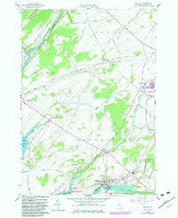
1958 Map of Dexter
USGS Topo · Published 1983About this map
The village of Dexter sits at the mouth of the Black River as it empties into Black River Bay, a key waterway for Jefferson County industry and transport. This mid-century survey reveals a landscape of transition, where established settlements like Limerick and Chaumont are connected by a network of rural routes such as Depauville Road and Weaver Road. To the east, the Perch River Wildlife Management Area and the Brownville State Game Farm highlight a significant regional focus on conservation and land management.
Find a feature on this map
60 named features on this map. Tap any name to fly to it.
Don’t see what you’re looking for? This feature index may not catch every label — zoom into the map to look around manually.
Map Details
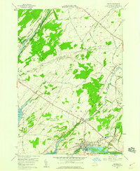
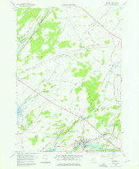
Editions of this 1958 Dexter Map
3 editions found
Other maps of this area

1893 · Sackets Harbor
USGS Topo · 1:62,500

1895 · Sacketts Harbor
USGS Topo · 1:62,500

1895 · Watertown
USGS Topo · 1:62,500

1898 · Watertown
USGS Topo · 1:62,500

1900 · Clayton
USGS Topo · 1:62,500

1903 · Clayton
USGS Topo · 1:62,500

1903 · Theresa
USGS Topo · 1:62,500

1908 · Watertown
USGS Topo · 1:62,500

1909 · Watertown
USGS Topo · 1:62,500

1942 · Henderson Bay
USGS Topo · 1:31,680