Loading...
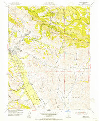
Loading map...1953 Map of Diablo
USGS Topo · Published 1954About this map
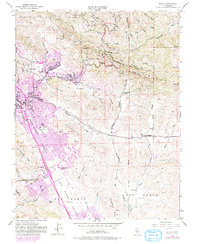
Mount Diablo State Park dominates the northern reaches of this mid-century survey, with Summit Road and South Gate Road winding toward the peaks of Knox Ridge and Fossil Ridge. The lowland geography is defined by the San Ramon Valley, where the Southern Pacific (San Ramon Branch) railroad connects the developing communities of Danville and San Ramon. Educational anchors like Green Valley School and San Ramon School mark the rural-suburban interface of the early 1950s.
Find a feature on this map
55 named features on this map. Tap any name to fly to it.
Don’t see what you’re looking for? This feature index may not catch every label — zoom into the map to look around manually.
Map Details
Date Portrayed1953
Date Published1954
PublisherU.S. Geological Survey
Map TypeTopographic
Scale1:24000
Physical Dimensions22 x 26.9 inches
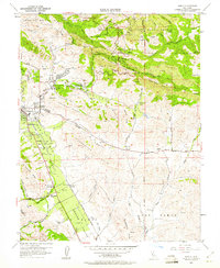
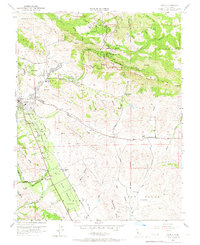
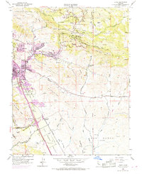
Editions of this 1953 Diablo Map
9 editions found
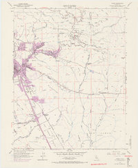
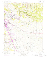
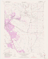
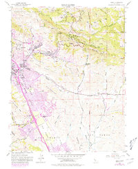
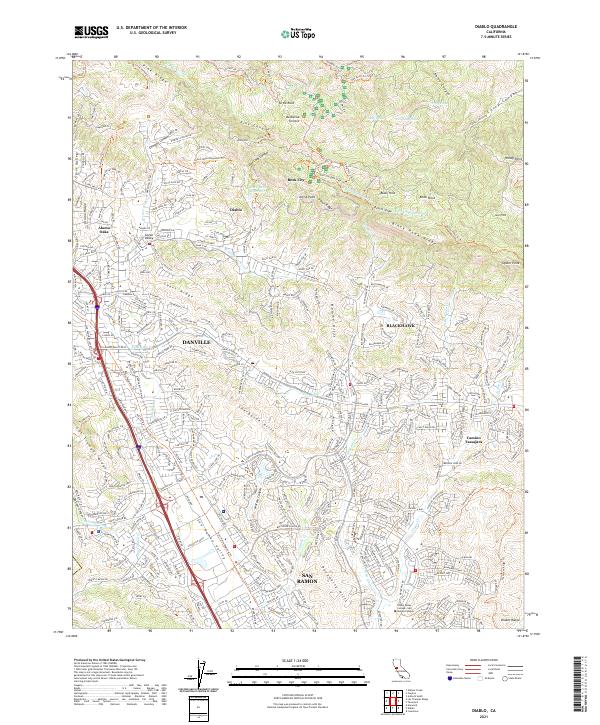
Historical Maps of San Ramon Through Time
Featured Locations
Source Details
SourceU.S. Geological Survey
CopyrightPublic Domain