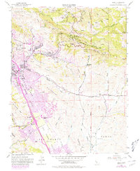
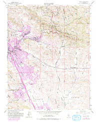
1953 Map of Diablo
USGS Topo · Published 1980About this map
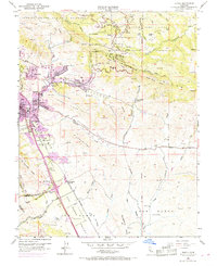
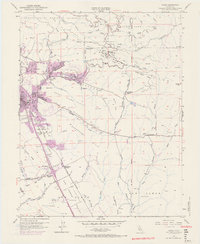
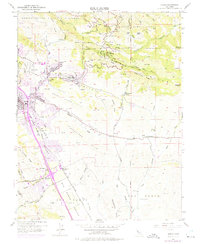
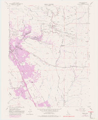
Mount Diablo State Park dominates the northern landscape of this topographic study, where recreational sites like Rock City, Live Oak Camp, and Barbecue Terrace line the slopes. The map captures the suburban transformation of Contra Costa County during the mid-20th century, contrasting the developing residential corridors of Danville and Alamo Oaks against the large agricultural and equestrian footprint of the Black Hawk Ranch.
Find a feature on this map
66 named features on this map. Tap any name to fly to it.
Don’t see what you’re looking for? This feature index may not catch every label — zoom into the map to look around manually.
Map Details
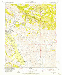
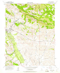
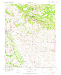
Editions of this 1953 Diablo Map
9 editions found
Other maps of this area

1896 · Mt. Diablo
USGS Topo · 1:62,500

1897 · Concord
USGS Topo · 1:62,500

1898 · Mt. Diablo
USGS Topo · 1:62,500

1899 · Haywards
USGS Topo · 1:62,500

1906 · Pleasanton
USGS Topo · 1:62,500

1915 · Haywards
USGS Topo · 1:62,500

1915 · Concord
USGS Topo · 1:62,500

1916 · Lone Tree Valley
USGS Topo · 1:31,680

1941 · Pleasanton
USGS Topo · 1:62,500

1942 · Concord
USGS Topo · 1:62,500