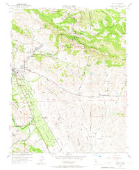
1953 Map of Diablo
USGS Topo · Published 1967About this map
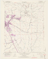
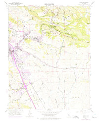
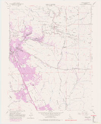
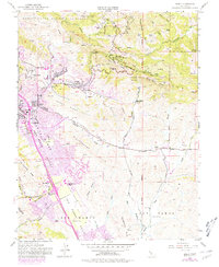
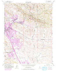
Danville and the burgeoning San Ramon Valley serve as the focal points for this 1953 survey, which documents the transition from a ranching-heavy landscape to early suburban development. The Southern Pacific railroad line anchors the valley floor, connecting the agricultural hubs of San Ramon and the San Ramon Siding. The rugged northern portion of the map is dominated by the steep terrain of Mount Diablo State Park, featuring notable landmarks like Fossil Ridge and Artist Point.
Find a feature on this map
51 named features on this map. Tap any name to fly to it.
Don’t see what you’re looking for? This feature index may not catch every label — zoom into the map to look around manually.
Map Details
Editions of this 1953 Diablo Map
9 editions found
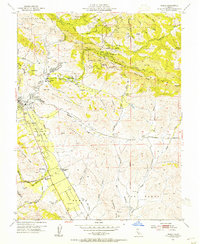
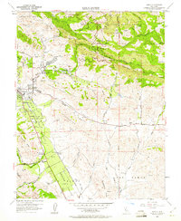
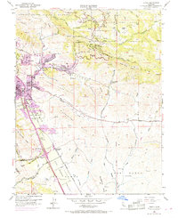
Other maps of this area

1896 · Mt. Diablo
USGS Topo · 1:62,500

1897 · Concord
USGS Topo · 1:62,500

1898 · Mt. Diablo
USGS Topo · 1:62,500

1899 · Haywards
USGS Topo · 1:62,500

1906 · Pleasanton
USGS Topo · 1:62,500

1915 · Haywards
USGS Topo · 1:62,500

1915 · Concord
USGS Topo · 1:62,500

1916 · Lone Tree Valley
USGS Topo · 1:31,680

1941 · Pleasanton
USGS Topo · 1:62,500

1942 · Concord
USGS Topo · 1:62,500