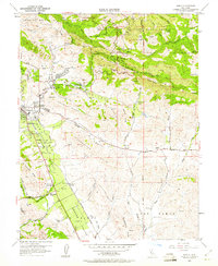
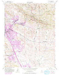
1953 Map of Diablo
USGS Topo · Published 1960About this map
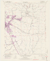
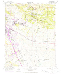
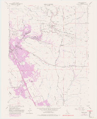
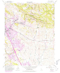
Mount Diablo State Park anchors the northern high ground of this mid-century survey, where landmarks like Turtle Rock and Fossil Ridge rise above a landscape defined by ranching and the early suburban growth of the San Ramon Valley. The southern foothills of Mount Diablo descend into the Sycamore Valley and Amador Valley, where the Southern Pacific railroad follows the course of San Ramon Creek to serve local hubs. At this time, Danville and San Ramon exist as small communities, with San Ramon Siding and the San Ramon School marking the centers of local civic life. To the east, the extensive Black Hawk Ranch occupies the slopes of Black Hawk Ridge and Knox Ridge, while the State Game Refuge preserves the northern canyons and ponds near Park Hq.
Find a feature on this map
52 named features on this map. Tap any name to fly to it.
Don’t see what you’re looking for? This feature index may not catch every label — zoom into the map to look around manually.
Map Details
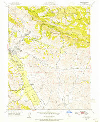
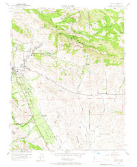
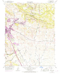
Editions of this 1953 Diablo Map
9 editions found
Other maps of this area

1896 · Mt. Diablo
USGS Topo · 1:62,500

1897 · Concord
USGS Topo · 1:62,500

1898 · Mt. Diablo
USGS Topo · 1:62,500

1899 · Haywards
USGS Topo · 1:62,500

1906 · Pleasanton
USGS Topo · 1:62,500

1915 · Haywards
USGS Topo · 1:62,500

1915 · Concord
USGS Topo · 1:62,500

1916 · Lone Tree Valley
USGS Topo · 1:31,680

1941 · Pleasanton
USGS Topo · 1:62,500

1942 · Concord
USGS Topo · 1:62,500