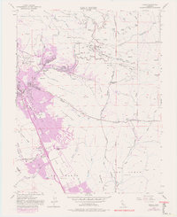
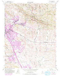
1953 Map of Diablo
USGS Topo · Published 1980About this map
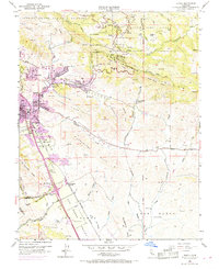
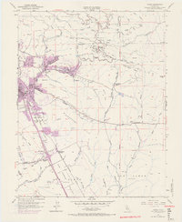
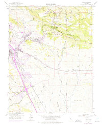
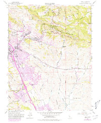
Mt Diablo State Park dominates the northern terrain of this quadrangle, revealing a complex network of canyons and ridges such as Pine Ridge and Fossil Ridge. The map illustrates a transitional period in the San Ramon Valley, where traditional ranching landmarks like Black Hawk Ranch meet the emerging suburban footprints of Danville and San Ramon. The transportation infrastructure is anchored by the San Ramon Branch of the Southern Pacific railroad, including the San Ramon Siding, which historically served the valley's agricultural needs before the expansion of local road networks. Educational and social hubs are clearly marked, from the Green Valley School and Athenian Sch to the recreational facilities of the Golf Course and numerous camps like Toyon Camp and Buckeye Camp tucked into the foothills of the mountain range.
Find a feature on this map
69 named features on this map. Tap any name to fly to it.
Don’t see what you’re looking for? This feature index may not catch every label — zoom into the map to look around manually.
Map Details
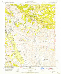
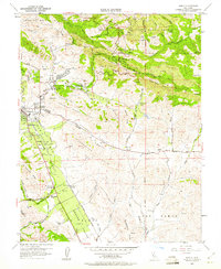
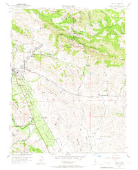
Editions of this 1953 Diablo Map
9 editions found
Other maps of this area

1896 · Mt. Diablo
USGS Topo · 1:62,500

1897 · Concord
USGS Topo · 1:62,500

1898 · Mt. Diablo
USGS Topo · 1:62,500

1899 · Haywards
USGS Topo · 1:62,500

1906 · Pleasanton
USGS Topo · 1:62,500

1915 · Haywards
USGS Topo · 1:62,500

1915 · Concord
USGS Topo · 1:62,500

1916 · Lone Tree Valley
USGS Topo · 1:31,680

1941 · Pleasanton
USGS Topo · 1:62,500

1942 · Concord
USGS Topo · 1:62,500