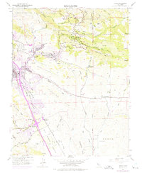
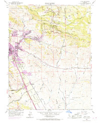
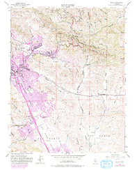
1953 Map of Diablo
USGS Topo · Published 1975About this map
The Southern Pacific railroad corridor anchors the San Ramon Valley in this mid-century survey, revised through the early 1970s to show the transition from agricultural ranching toward suburban growth. The map tracks the development of Danville and San Ramon, while the eastern hills remain largely dedicated to the Mount Diablo State Park and the State Game Refuge. Local educational institutions like the Green Valley School, Athenian Sch, and San Ramon School are clearly marked, serving as anchor points for the budding residential communities.
Find a feature on this map
56 named features on this map. Tap any name to fly to it.
Don’t see what you’re looking for? This feature index may not catch every label — zoom into the map to look around manually.
Map Details
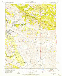
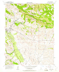
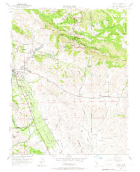
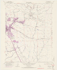
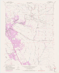
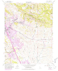
Editions of this 1953 Diablo Map
9 editions found
Other maps of this area

1896 · Mt. Diablo
USGS Topo · 1:62,500

1897 · Concord
USGS Topo · 1:62,500

1898 · Mt. Diablo
USGS Topo · 1:62,500

1899 · Haywards
USGS Topo · 1:62,500

1906 · Pleasanton
USGS Topo · 1:62,500

1915 · Haywards
USGS Topo · 1:62,500

1915 · Concord
USGS Topo · 1:62,500

1916 · Lone Tree Valley
USGS Topo · 1:31,680

1941 · Pleasanton
USGS Topo · 1:62,500

1942 · Concord
USGS Topo · 1:62,500