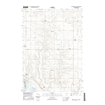
2015 Map of Diamond Bluff East
USGS Topo · Published 2015About this map
Diamond Bluff and Trimbelle anchor this mid-2010s landscape along the border of Wisconsin and Minnesota. The terrain is defined by the winding Trimbelle River and its tributaries, including Spring Cr and Little Trimbelle Cr, which have carved deep valleys such as Hope Coulee and Fisher Coulee into the surrounding uplands. These natural features shaped the settlement patterns of the region, where small communities like Ottman Corners and Moeville sit atop the ridges while the bluffs overlook the broader river valley to the southwest.
Find a feature on this map
78 named features on this map. Tap any name to fly to it.
Don’t see what you’re looking for? This feature index may not catch every label — zoom into the map to look around manually.
Map Details
Editions of this 2015 Diamond Bluff East Map
This is the sole edition of this map. No revisions or reprints were ever made.
Other maps of this area

1940 · Maiden Rock
USGS Topo · 1:62,500

1944 · Red Wing
USGS Topo · 1:62,500

1946 · River Falls
USGS Topo · 1:62,500

1949 · River Falls
USGS Topo · 1:62,500

1949 · Baldwin
USGS Topo · 1:62,500

1950 · Maiden Rock
USGS Topo · 1:62,500

1952 · Red Wing
USGS Topo · 1:62,500

1953 · Saint Paul
USGS Topo · 1:250,000

1959 · Saint Paul
USGS Topo · 1:250,000
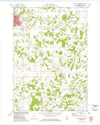
1974 · River Falls East
USGS Topo · 1:24,000