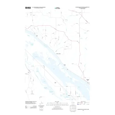
2013 Map of Diamond Bluff West
USGS Topo · Published 2013About this map
Mississippi River and its intricate network of side channels and backwaters dominate this 2013 survey of the Wisconsin-Minnesota border. The river's complexity is revealed through named sloughs, lakes, and runs, including Wood Slough, Indian Slough, and Jackson Run. On the Minnesota side, Prairie Island stands as a significant landmass defined by North Lake, Sturgeon Lake, and the winding course of the Vermillion River. Small settlements such as Etter, Stroms, and Smith Landing dot the landscape, indicating the long-standing human presence along these critical waterways.
Find a feature on this map
85 named features on this map. Tap any name to fly to it.
Don’t see what you’re looking for? This feature index may not catch every label — zoom into the map to look around manually.
Map Details
Editions of this 2013 Diamond Bluff West Map
This is the sole edition of this map. No revisions or reprints were ever made.
Other maps of this area

1944 · Red Wing
USGS Topo · 1:62,500

1946 · Hudson
USGS Topo · 1:62,500

1946 · River Falls
USGS Topo · 1:62,500

1949 · River Falls
USGS Topo · 1:62,500

1949 · Hudson
USGS Topo · 1:62,500

1951 · Prescott
USGS Topo · 1:24,000

1952 · Red Wing
USGS Topo · 1:62,500

1953 · Saint Paul
USGS Topo · 1:250,000

1957 · Hastings
USGS Topo · 1:62,500

1959 · Saint Paul
USGS Topo · 1:250,000