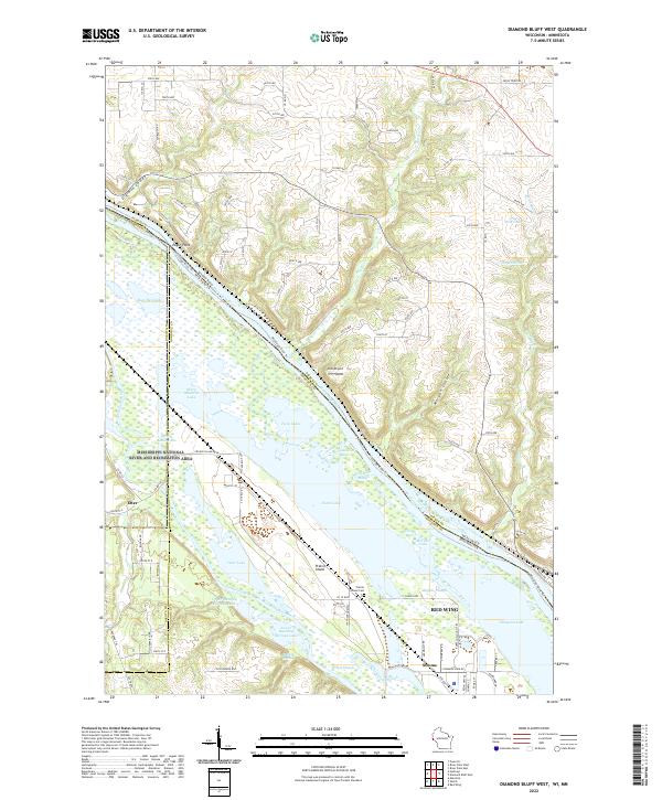
2022 Map of Diamond Bluff West
USGS Topo · Published 2022About this map
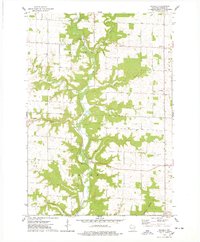
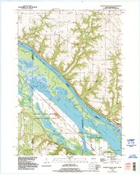
Mississippi National River and Recreation Area dominates the central landscape of this quadrangle, where the massive waterway forms a complex network of sloughs and backwaters along the border of Wisconsin and Minnesota. This 2022 survey documents a hydrographically dense region where the Mississippi River is fed by the Big River and Wind River from the north and the Vermillion River from the west. The area's geography is defined by significant island formations and wetlands, most notably Prairie Island, which contains the Prairie Island Cem.
Find a feature on this map
72 named features on this map. Tap any name to fly to it.
Don’t see what you’re looking for? This feature index may not catch every label — zoom into the map to look around manually.
Map Details
Editions of this 2022 Diamond Bluff West Map
This is the sole edition of this map. No revisions or reprints were ever made.
Historical Maps of Etter Through Time
17 maps found

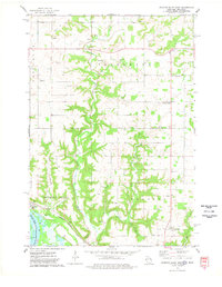
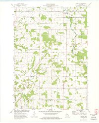
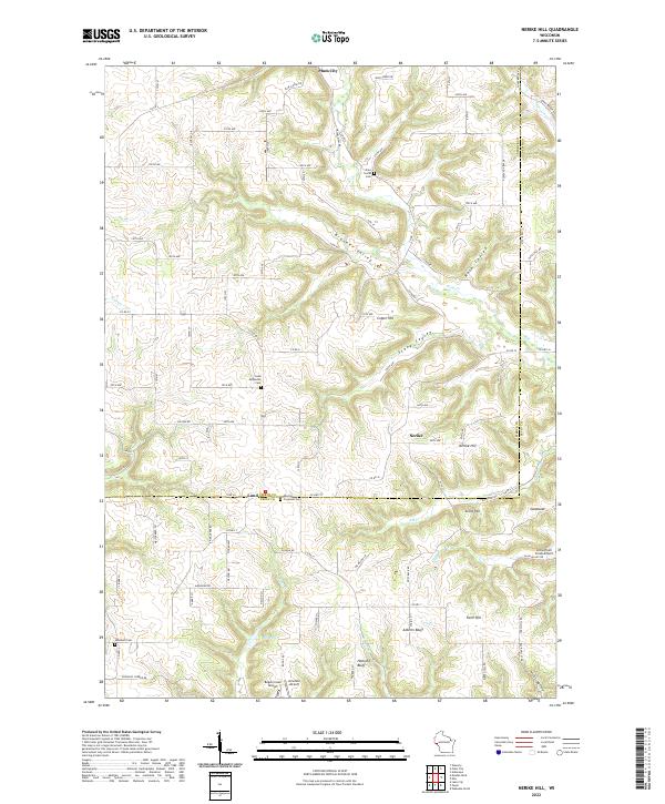
1972 Nerike Hill
Pierce County, WI
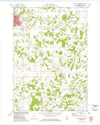
1974 Diamond Bluff East
Pierce County, WI
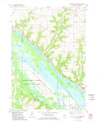
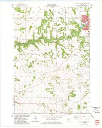
1974 Diamond Bluff West
Pierce County, WI
1974 El Paso
Pierce County, WI
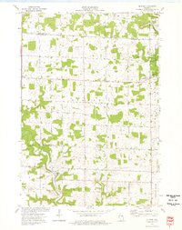
1974 Martell
Pierce County, WI
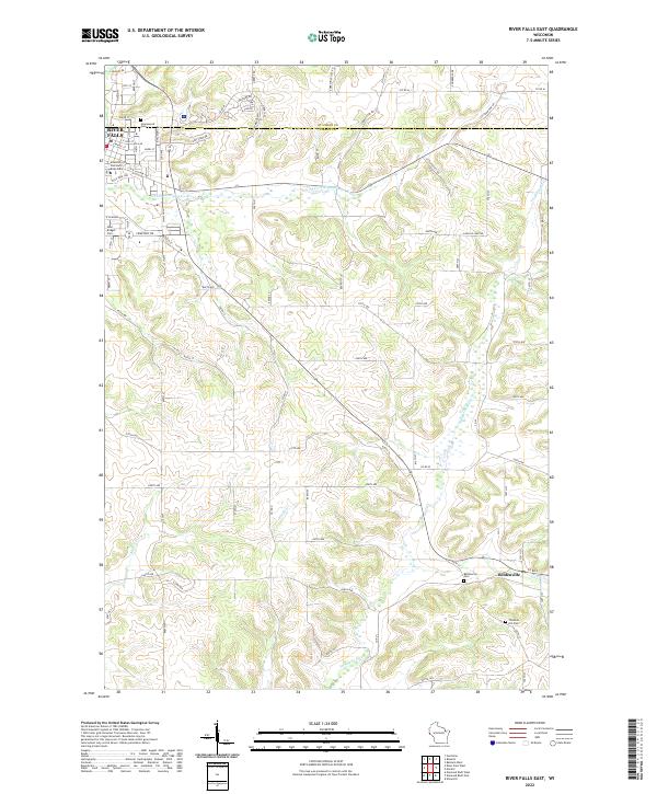
1974 River Falls East
Pierce County, WI
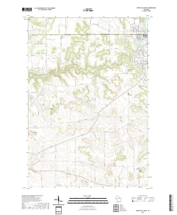
1974 River Falls West
Pierce County, WI
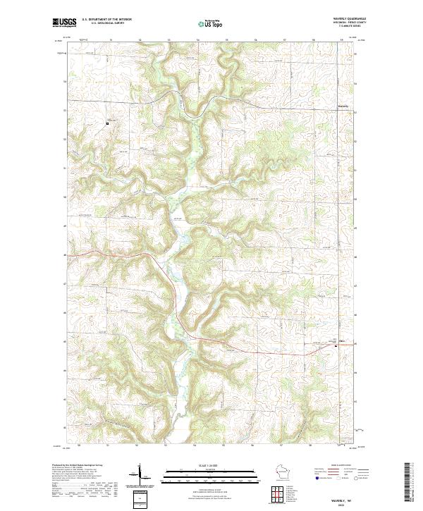
1974 Waverly
Pierce County, WI
1992 Diamond Bluff West
Pierce County, WI
2022 Diamond Bluff East
Pierce County, WI
2022 Diamond Bluff West
Pierce County, WI
2022 El Paso
Pierce County, WI
2022 Martell
Pierce County, WI
2022 Nerike Hill
Pierce County, WI
2022 River Falls East
Pierce County, WI
2022 River Falls West
Pierce County, WI
2022 Waverly
Pierce County, WI