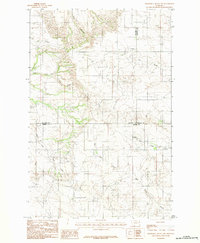
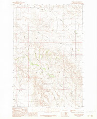
1983 Map of Diamond G Butte NW
USGS Topo · Published 1983About this map
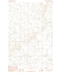
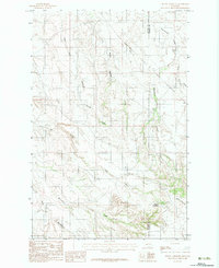
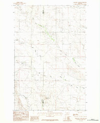
The high plains of eastern Montana meet at the junction of Dawson, McCone, and Prairie Counties in this 1983 topographic survey. The landscape is defined by an intricate network of seasonal drainages and coulees, including the winding course of Bad Route Creek and the headwaters of Dry Ash Creek. This area of the Missouri Plateau shows the distinct erosional patterns of the northern badlands, where deep incisions like Deep Bottom cut through the arid terrain.
Find a feature on this map
11 named features on this map. Tap any name to fly to it.
Don’t see what you’re looking for? This feature index may not catch every label — zoom into the map to look around manually.
Map Details
Editions of this 1983 Diamond G Butte NW Map
This is the sole edition of this map. No revisions or reprints were ever made.
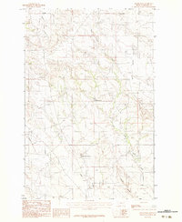
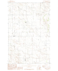
Other maps of this area

1954 · Glendive
USGS Topo · 1:250,000

1957 · Glendive
USGS Topo · 1:250,000

1958 · Glendive
USGS Topo · 1:250,000
1982 · Circle
USGS Topo · 1:100,000
1983 · Becker Dam
USGS Topo · 1:24,000
1983 · Union School
USGS Topo · 1:24,000
1983 · North Coulee
USGS Topo · 1:24,000
1983 · Olson Coulee South
USGS Topo · 1:24,000
1983 · Mount Antelope
USGS Topo · 1:24,000
1983 · Diamond G Butte
USGS Topo · 1:24,000