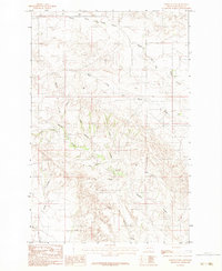
1983 Map of North Coulee
USGS Topo · Published 1983About this map
Middle Fork Bad Route Creek and its many winding tributaries define this portion of the Montana badlands in Prairie County. The landscape is a dense network of erosional drainage features, characterized by the convergence of the West Fork Bad Route Creek and various deeply carved coulees. The intricate terrain patterns show a landscape shaped by water action, with named features like North Coulee and Ash Coulee suggesting the local vegetation and geology known to early ranchers and surveyors.
Find a feature on this map
13 named features on this map. Tap any name to fly to it.
Don’t see what you’re looking for? This feature index may not catch every label — zoom into the map to look around manually.
Map Details
Editions of this 1983 North Coulee Map
This is the sole edition of this map. No revisions or reprints were ever made.
Other maps of this area

1953 · Miles City
USGS Topo · 1:250,000

1954 · Glendive
USGS Topo · 1:250,000

1957 · Miles City
USGS Topo · 1:250,000

1957 · Glendive
USGS Topo · 1:250,000

1958 · Miles City
USGS Topo · 1:250,000

1958 · Glendive
USGS Topo · 1:250,000

1972 · Papps Reservoir
USGS Topo · 1:24,000

1972 · Diamond G Creek
USGS Topo · 1:24,000

1972 · Mc Cloud
USGS Topo · 1:24,000

1980 · Terry
USGS Topo · 1:100,000