
1983 Map of Olson Coulee South
USGS Topo · Published 1983About this map
Crazy Butte and High Point anchor this portion of Dawson County, where the topography is defined by a dense network of coulees and seasonal drainage systems. The landscape is carved by watercourses like Olson Coulee and Stilson Coulee, which give way to larger systems such as Sioux Creek and Upper Sevenmile Creek. This 1983 provisional survey, based on aerial photography from the mid-1970s, captures the open, arid character of the Montana plains before significant modern alteration. Notable landmarks like Rimroad and Berry Creek indicate the winding paths of rural transit and natural watersheds. The map provides a detailed view of the terrain's transition from high points to deep creek beds, offering a look at the geographic features that shaped local land use and ranching boundaries in the late twentieth century.
Find a feature on this map
11 named features on this map. Tap any name to fly to it.
Don’t see what you’re looking for? This feature index may not catch every label — zoom into the map to look around manually.
Map Details
Editions of this 1983 Olson Coulee South Map
This is the sole edition of this map. No revisions or reprints were ever made.
Other maps of this area

1954 · Glendive
USGS Topo · 1:250,000

1957 · Glendive
USGS Topo · 1:250,000

1958 · Glendive
USGS Topo · 1:250,000

1982 · Circle
USGS Topo · 1:100,000

1983 · Johnson Reservoir NW
USGS Topo · 1:24,000
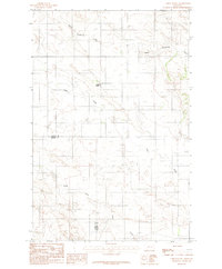
1983 · Union School
USGS Topo · 1:24,000

1983 · Woodworth Hill
USGS Topo · 1:24,000

1983 · Mount Antelope
USGS Topo · 1:24,000

1983 · Deer Creek Church
USGS Topo · 1:24,000
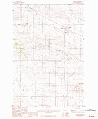
1983 · Lindsay
USGS Topo · 1:24,000