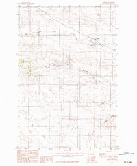
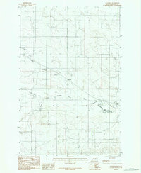
1983 Map of Lindsay
USGS Topo · Published 1983About this map
Lindsay serves as the primary focal point of this Dawson County landscape, characterized by the intricate drainage systems that define this portion of the Montana plains. The terrain is marked by a complex network of coulees and creeks, most notably Upper Sevenmile Creek and the southern reaches of Wolf Coulee. The small settlement of Lindsay is situated near the Lindsay Reservoir, an essential water feature for this agricultural and ranching environment. The presence of Storage Bins near the town site highlights the area's reliance on grain production and local storage infrastructure during the early 1980s. Waterways like Hay Creek, Spring Creek, and Upper Timber Fork carve through the topography, illustrating the natural watershed patterns that have dictated land use and property boundaries in this rural section of the state.
Find a feature on this map
12 named features on this map. Tap any name to fly to it.
Don’t see what you’re looking for? This feature index may not catch every label — zoom into the map to look around manually.
Map Details
Editions of this 1983 Lindsay Map
This is the sole edition of this map. No revisions or reprints were ever made.
Other maps of this area

1954 · Glendive
USGS Topo · 1:250,000

1957 · Glendive
USGS Topo · 1:250,000

1958 · Glendive
USGS Topo · 1:250,000

1982 · Circle
USGS Topo · 1:100,000
1983 · Union School
USGS Topo · 1:24,000
1983 · Johnson Reservoir
USGS Topo · 1:24,000
1983 · Lindsay SW
USGS Topo · 1:24,000

1983 · Olson Coulee South
USGS Topo · 1:24,000
1983 · Woodrow
USGS Topo · 1:24,000

1983 · Deer Creek Church
USGS Topo · 1:24,000