
1983 Map of Deer Creek Church
USGS Topo · Published 1983About this map
Deer Creek Church stands as the primary cultural landmark in this rural Dawson County landscape, situated near the confluence of the branching waterways that define the region. The drainage patterns of the Middle Fork Deer Creek and South Fork Deer Creek create a complex network of coulees and ridges typical of the Montana plains. This 1983 provisional survey highlights a sparse settlement pattern where human activity is limited to remote infrastructure like the Sub-Station and winding ranch roads. The southern portion of the quadrangle is drained by Spring Creek and Hay Creek, showing the transition of the terrain as it moves toward larger regional watersheds. For those researching local genealogy or land use, the map provides the exact placement of these small-scale features within a largely undeveloped prairie environment.
Find a feature on this map
6 named features on this map. Tap any name to fly to it.
Don’t see what you’re looking for? This feature index may not catch every label — zoom into the map to look around manually.
Map Details
Editions of this 1983 Deer Creek Church Map
This is the sole edition of this map. No revisions or reprints were ever made.
Other maps of this area

1954 · Glendive
USGS Topo · 1:250,000

1957 · Glendive
USGS Topo · 1:250,000

1958 · Glendive
USGS Topo · 1:250,000

1982 · Circle
USGS Topo · 1:100,000

1983 · Johnson Reservoir NW
USGS Topo · 1:24,000
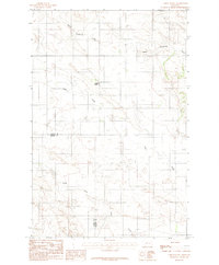
1983 · Union School
USGS Topo · 1:24,000
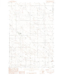
1983 · Johnson Reservoir
USGS Topo · 1:24,000

1983 · Olson Coulee South
USGS Topo · 1:24,000
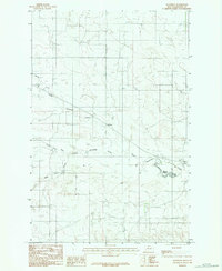
1983 · Woodrow
USGS Topo · 1:24,000
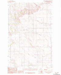
1983 · Johnson Reservoir NE
USGS Topo · 1:24,000