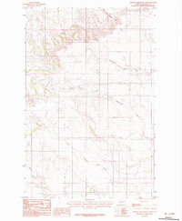
1983 Map of Johnson Reservoir NE
USGS Topo · Published 1983About this map
Thirteenmile Creek and its many branches dominate this Dawson County landscape, carved out by centuries of drainage across the eastern Montana plains. This 1983 provisional survey, based on aerial photography from the mid-1970s, illustrates the complex hydrology of the region before modern development or intensive infrastructure. The network of waterways includes the South Fork Thirteenmile Creek and Sullivan Creek, showing the natural flow patterns toward larger basins. To the north and south, West Fork Pasture Creek and the headwaters of North Fork Deer Creek define the boundaries of this prairie terrain. The map's unimproved roads and trails follow the contours of the land, tracing the same routes used by ranchers and early travelers to navigate between the Lower Sevenmile Creek drainage and the surrounding ridges.
Find a feature on this map
6 named features on this map. Tap any name to fly to it.
Don’t see what you’re looking for? This feature index may not catch every label — zoom into the map to look around manually.
Map Details
Editions of this 1983 Johnson Reservoir NE Map
This is the sole edition of this map. No revisions or reprints were ever made.
Other maps of this area

1909 · Glendive
USGS Topo · 1:250,000

1954 · Glendive
USGS Topo · 1:250,000

1957 · Glendive
USGS Topo · 1:250,000

1958 · Glendive
USGS Topo · 1:250,000

1972 · Clay Butte
USGS Topo · 1:24,000

1972 · Bloomfield
USGS Topo · 1:24,000

1972 · Stinking Coulee
USGS Topo · 1:24,000

1981 · Glendive
USGS Topo · 1:100,000

1981 · Sidney
USGS Topo · 1:100,000

1982 · Circle
USGS Topo · 1:100,000