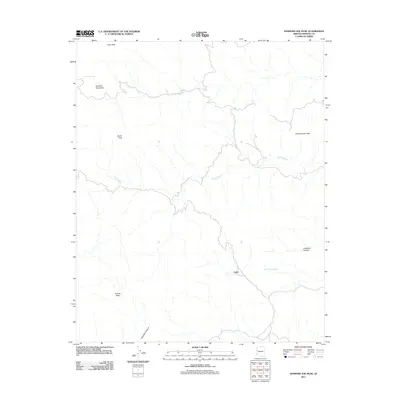
2011 Map of Diamond Joe Peak
USGS Topo · Published 2011About this map
Cedar sits at the eastern foothills of the Hualapai Mountains in this Mohave County interior survey. This high-desert landscape is defined by its significant relief, rising from the intricate drainage systems of Deluge Wash and Tompkins Canyon toward prominent summits such as Burch Peak, Granite Peak, and the namesake Diamond Joe Peak. The map records a network of water sources vital to life in this arid environment, including Grapevine Spring, Chappo Spring, and Lower Cypress Spring. The topography transitions from the rugged heights of Pine Peak in the north to the sharp relief of Gunsight Canyon in the southeast. While modern roads pass through the area, the concentration of named springs and peaks suggests a landscape where movement was historically dictated by geography and water access, providing a clear record of the region's physical character and sparse settlement patterns in the early twenty-first century.
Find a feature on this map
12 named features on this map. Tap any name to fly to it.
Don’t see what you’re looking for? This feature index may not catch every label — zoom into the map to look around manually.
Map Details
Editions of this 2011 Diamond Joe Peak Map
This is the sole edition of this map. No revisions or reprints were ever made.
Other maps of this area

1923 · Signal
USGS Topo · 1:250,000

1942 · Signal
USGS Topo · 1:250,000

1950 · Prescott
USGS Topo · 1:250,000

1954 · Prescott
USGS Topo · 1:250,000

1958 · Prescott
USGS Topo · 1:250,000

1959 · Prescott
USGS Topo · 1:250,000

1960 · Prescott
USGS Topo · 1:250,000

1965 · Prescott
USGS Topo · 1:250,000
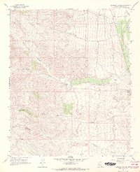
1967 · Gunsight Canyon
USGS Topo · 1:24,000
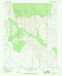
1967 · Beecher Canyon
USGS Topo · 1:24,000