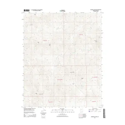
2014 Map of Diamond Joe Peak
USGS Topo · Published 2014About this map
Cedar lies at the heart of this high-desert landscape in Mohave County, where the eastern reaches of the Mojave Desert meet a series of prominent summits. The terrain is defined by a network of steep drainages, including Gunsight Canyon, Tompkins Canyon, and Crow Canyon, which carve through the elevations between Granite Peak and the namesake Diamond Joe Peak. These canyons and washes indicate a seasonal hydrological system where water management was critical, evidenced by the presence of scattered water sources such as Grapevine Spring, Chappo Spring, and Lower Cypress Spring. This 2014 survey documents the area's topographical character, showing the interplay between the desert floor and the high peaks like Burch Peak and Pine Peak, while outlining the complex township and range boundaries that organize this part of rural Arizona.
Find a feature on this map
20 named features on this map. Tap any name to fly to it.
Don’t see what you’re looking for? This feature index may not catch every label — zoom into the map to look around manually.
Map Details
Editions of this 2014 Diamond Joe Peak Map
This is the sole edition of this map. No revisions or reprints were ever made.
Other maps of this area

1923 · Signal
USGS Topo · 1:250,000

1942 · Signal
USGS Topo · 1:250,000

1950 · Prescott
USGS Topo · 1:250,000

1954 · Prescott
USGS Topo · 1:250,000

1958 · Prescott
USGS Topo · 1:250,000

1959 · Prescott
USGS Topo · 1:250,000

1960 · Prescott
USGS Topo · 1:250,000

1965 · Prescott
USGS Topo · 1:250,000
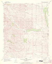
1967 · Gunsight Canyon
USGS Topo · 1:24,000
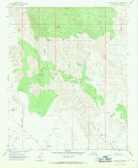
1967 · Beecher Canyon
USGS Topo · 1:24,000