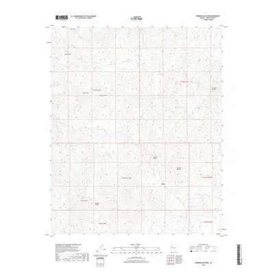
2018 Map of Diamond Joe Peak
USGS Topo · Published 2018About this map
Cedar sits at the heart of this high-elevation landscape in the Mojave Desert, where rugged mountain summits and deep drainage systems define the geography. The terrain is anchored by several prominent heights, including Diamond Joe Peak, Pine Peak, and Granite Peak, which overlook a network of canyons such as Gunsight Canyon and Tompkins Canyon. These landforms provide a natural framework for the area's water sources, with Chappo Spring and Lower Cypress Spring appearing as critical points in an otherwise arid environment. The presence of ephemeral drainages like Deluge Wash and Bar L L Wash suggests a seasonal rhythm of water flow typical of the region's interior basins. This survey provides a clear view of the complex topography and sparse settlement patterns across Mohave County's high-desert peaks.
Find a feature on this map
20 named features on this map. Tap any name to fly to it.
Don’t see what you’re looking for? This feature index may not catch every label — zoom into the map to look around manually.
Map Details
Editions of this 2018 Diamond Joe Peak Map
This is the sole edition of this map. No revisions or reprints were ever made.
Other maps of this area

1923 · Signal
USGS Topo · 1:250,000

1942 · Signal
USGS Topo · 1:250,000

1950 · Prescott
USGS Topo · 1:250,000

1954 · Prescott
USGS Topo · 1:250,000

1958 · Prescott
USGS Topo · 1:250,000

1959 · Prescott
USGS Topo · 1:250,000

1960 · Prescott
USGS Topo · 1:250,000

1965 · Prescott
USGS Topo · 1:250,000
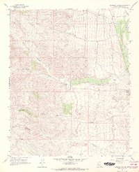
1967 · Gunsight Canyon
USGS Topo · 1:24,000
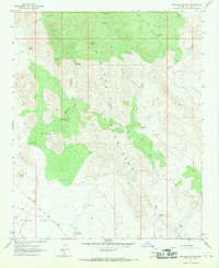
1967 · Beecher Canyon
USGS Topo · 1:24,000