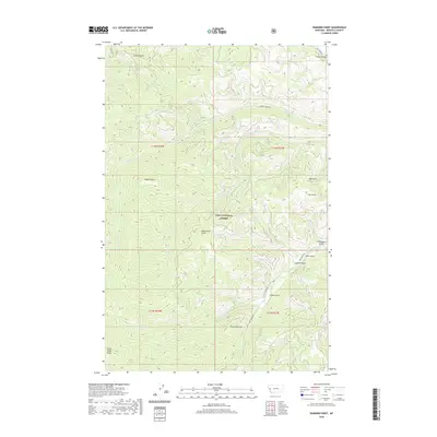
2020 Map of Diamond Point
USGS Topo · Published 2020About this map
Lolo National Forest encompasses this section of Missoula County, characterized by the steep drainage systems of the Grave Creek Range. High-elevation landmarks like Albert Point, Wild Horse Point, and Diamond Point define the ridgelines above a complex network of waterways. The terrain is deeply incised by numerous gulches and creeks, including French Gulch and Emma Gulch, which feed into larger arteries like Albert Cr and Deep Cr. This 2020 survey illustrates the modern forestry and access infrastructure of the region through established routes such as Albert Creek Rd, Deep Creek Rd, and Gilman Creek Rd. The drainage patterns, particularly around Rock Cr and Gilman Cr, indicate the classic steep-slope geography typical of western Montana's protected forest lands.
Find a feature on this map
29 named features on this map. Tap any name to fly to it.
Don’t see what you’re looking for? This feature index may not catch every label — zoom into the map to look around manually.
Map Details
Editions of this 2020 Diamond Point Map
This is the sole edition of this map. No revisions or reprints were ever made.
Other maps of this area

1912 · Missoula
USGS Topo · 1:125,000

1956 · Wallace
USGS Topo · 1:250,000

1956 · Hamilton
USGS Topo · 1:250,000

1959 · Hamilton
USGS Topo · 1:250,000

1959 · Alberton
USGS Topo · 1:62,500

1959 · Arlee
USGS Topo · 1:62,500

1960 · Wallace
USGS Topo · 1:250,000

1960 · Hamilton
USGS Topo · 1:250,000

1963 · Primrose
USGS Topo · 1:24,000

1964 · Hamilton
USGS Topo · 1:250,000