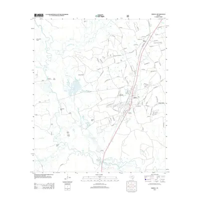
2013 Map of Diboll
USGS Topo · Published 2013About this map
The Neches River serpentines along the western edge of this landscape, its path defined by a complex network of sloughs and backwaters including Long Slough and Cross Slough. This fluvial environment is dotted with significant riverside landmarks like Hog Head Bluff and Hooper Bluff, while the industrial and residential heart of Diboll serves as the primary hub to the east. The presence of Fiberboard Lake suggests the timber and processing industries that have long shaped this part of East Texas.
Find a feature on this map
134 named features on this map. Tap any name to fly to it.
Don’t see what you’re looking for? This feature index may not catch every label — zoom into the map to look around manually.
Map Details
Editions of this 2013 Diboll Map
This is the sole edition of this map. No revisions or reprints were ever made.
Other maps of this area

1927 · Lufkin 4-c
USGS Topo · 1:24,000

1932 · Manning
USGS Topo · 1:62,500

1949 · Lufkin
USGS Topo · 1:62,500

1949 · Lufkin
USGS Topo · 1:24,000

1949 · Keltys
USGS Topo · 1:24,000

1950 · Keltys
USGS Topo · 1:24,000

1950 · Lufkin
USGS Topo · 1:24,000

1951 · Wells SW
USGS Topo · 1:24,000

1953 · Palestine
USGS Topo · 1:250,000

1957 · Palestine
USGS Topo · 1:250,000