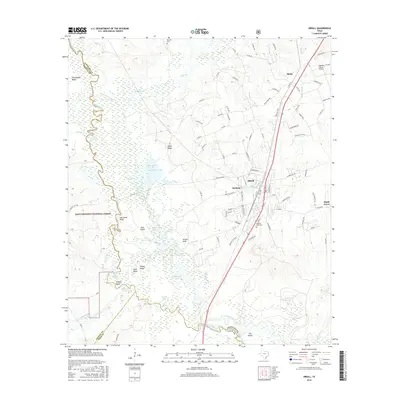
2016 Map of Diboll
USGS Topo · Published 2016About this map
The Neches River forms a winding western boundary for this portion of East Texas, creating a complex wetland environment within the Davy Crockett National Forest. This riverine landscape is defined by numerous backwater features like Allred Lake, Duck Pond, and the Dollarhide Cutoff, alongside distinctive terrain such as Hog Head Bluff and Yellow Bluff. The geography transitions from these bottomlands to the upland settlements of Diboll and Burke, which are connected by major transportation corridors and local routes like Id Weeks Rd.
Find a feature on this map
113 named features on this map. Tap any name to fly to it.
Don’t see what you’re looking for? This feature index may not catch every label — zoom into the map to look around manually.
Map Details
Editions of this 2016 Diboll Map
This is the sole edition of this map. No revisions or reprints were ever made.
Other maps of this area

1927 · Lufkin 4-c
USGS Topo · 1:24,000

1932 · Manning
USGS Topo · 1:62,500

1949 · Lufkin
USGS Topo · 1:62,500

1949 · Lufkin
USGS Topo · 1:24,000

1949 · Keltys
USGS Topo · 1:24,000

1950 · Keltys
USGS Topo · 1:24,000

1950 · Lufkin
USGS Topo · 1:24,000

1951 · Wells SW
USGS Topo · 1:24,000

1953 · Palestine
USGS Topo · 1:250,000

1957 · Palestine
USGS Topo · 1:250,000