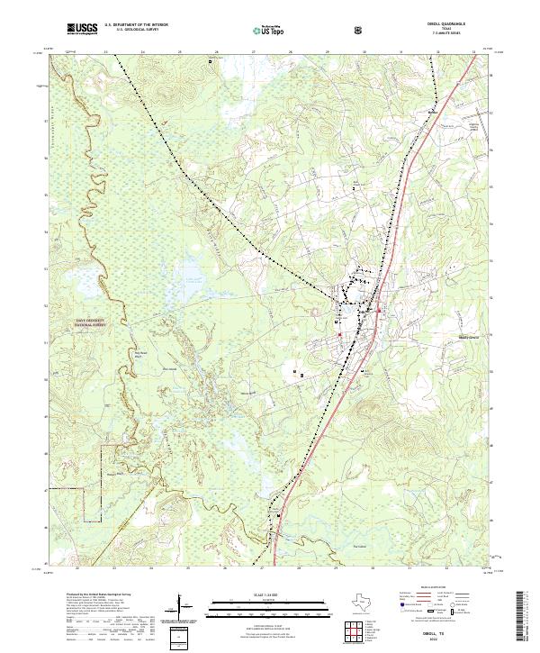
2022 Map of Diboll
USGS Topo · Published 2022About this map
The Neches River forms a complex boundary between Angelina, Trinity, and Polk counties, carving a landscape defined by oxbow lakes and bottomland ridges. This modern survey illustrates the proximity of the Davy Crockett National Forest to the industrial and residential corridors of Diboll and Burke. The terrain is marked by significant topographical features such as Chinquapin Ridge, Hog Head Bluff, and Yellow Bluff, which overlook a dense network of water bodies including Little Cedar Creek Lake and Woods Lake.
Find a feature on this map
117 named features on this map. Tap any name to fly to it.
Don’t see what you’re looking for? This feature index may not catch every label — zoom into the map to look around manually.
Map Details
Editions of this 2022 Diboll Map
This is the sole edition of this map. No revisions or reprints were ever made.
Other maps of this area

1927 · Lufkin 4-c
USGS Topo · 1:24,000

1932 · Manning
USGS Topo · 1:62,500

1949 · Lufkin
USGS Topo · 1:62,500

1949 · Lufkin
USGS Topo · 1:24,000

1949 · Keltys
USGS Topo · 1:24,000

1950 · Keltys
USGS Topo · 1:24,000

1950 · Lufkin
USGS Topo · 1:24,000

1951 · Wells SW
USGS Topo · 1:24,000

1953 · Palestine
USGS Topo · 1:250,000

1957 · Palestine
USGS Topo · 1:250,000