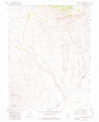
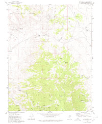
1980 Map of Dicalite Summit
USGS Topo · Published 1980About this map
Good Hope Mine and the Desert Scheelite Mine sit within this high-desert landscape, reflecting the persistent mineral exploration of the Great Basin in the late twentieth century. Located at the intersection of the Mineral Co Esmeralda Co border, the terrain is defined by the steep rises of the Cedar Mountains and the broad reach of the Monte Cristo Valley.
Find a feature on this map
9 named features on this map. Tap any name to fly to it.
Don’t see what you’re looking for? This feature index may not catch every label — zoom into the map to look around manually.
Map Details
Editions of this 1980 Dicalite Summit Map
This is the sole edition of this map. No revisions or reprints were ever made.
Other maps of this area

1907 · Tonopah
USGS Topo · 1:250,000

1908 · Tonopah
USGS Topo · 1:250,000

1956 · Tonopah
USGS Topo · 1:250,000

1959 · Tonopah
USGS Topo · 1:250,000

1962 · Tonopah
USGS Topo · 1:250,000
1979 · Stewart Spring
USGS Topo · 1:24,000
1979 · Simon
USGS Topo · 1:24,000
1980 · Kibby Flat
USGS Topo · 1:24,000

1980 · Cole Spring
USGS Topo · 1:24,000
1980 · Bettles Well
USGS Topo · 1:24,000