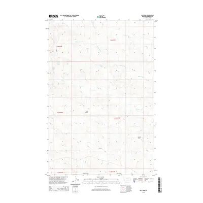
2014 Map of Dice Dam
USGS Topo · Published 2014About this map
Dice Dam sits at the heart of this Garfield County landscape, marking a point of water management in a region defined by its seasonal drainages and spring-fed hydrology. The terrain is deeply etched by a network of coulees, including Coil Coulee, Knudson Coulee, and Tinsley Coulee, which channel runoff toward the primary creek systems. Vital water sources like Upper Hanson Spring, Lower Hanson Spring, and Seventynine Spring provided reliable points for livestock and wildlife in this part of Montana's high plains. The drainage pattern is led by Middle Phillips Cr and N Phillips Cr, showing the intricate erosion of the Missouri River basin. While primarily a landscape of natural features and land management boundaries, the inclusion of Lacosta Rd indicates the limited but essential transport network connecting these remote ranching and grazing lands.
Find a feature on this map
19 named features on this map. Tap any name to fly to it.
Don’t see what you’re looking for? This feature index may not catch every label — zoom into the map to look around manually.
Map Details
Editions of this 2014 Dice Dam Map
This is the sole edition of this map. No revisions or reprints were ever made.
Other maps of this area

1954 · Jordan
USGS Topo · 1:250,000

1954 · Forsyth
USGS Topo · 1:250,000

1956 · Jordan
USGS Topo · 1:250,000

1957 · Forsyth
USGS Topo · 1:250,000

1958 · Jordan
USGS Topo · 1:250,000

1958 · Forsyth
USGS Topo · 1:250,000

1964 · Jordan
USGS Topo · 1:250,000

1965 · Black Hills
USGS Topo · 1:24,000

1965 · Kirby Ranch
USGS Topo · 1:24,000

1965 · Darby Buttes
USGS Topo · 1:24,000