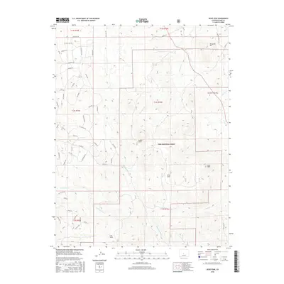
2016 Map of Dicks Peak
USGS Topo · Published 2016About this map
Pike National Forest covers much of this high-elevation terrain in Park County, where the landscape is defined by its drainage basins and mountain passes. The central feature, Dicks Peak, stands south of Buffalo Gulch, while the northeast corner is marked by the heights of Threemile Mtn. This 2016 survey illustrates a network of named trails and forest roads, including the Black Beaver Trl and Carmen Trl, which navigate the various gulches and ridges. Water flows through the area via several major tributaries like Threemile Cr and Agate Cr. The inclusion of Currant Creek Pass indicates a long-established route through these mountains, used for traversing the complex topography between Sheep Gulch and Long Gulch. The map's layout of township and range boundaries, such as t14s r74w, provides a clear grid for locating specific land parcels and historical property markers in this part of Colorado.
Find a feature on this map
58 named features on this map. Tap any name to fly to it.
Don’t see what you’re looking for? This feature index may not catch every label — zoom into the map to look around manually.
Map Details
Editions of this 2016 Dicks Peak Map
This is the sole edition of this map. No revisions or reprints were ever made.
Other maps of this area

1954 · Pueblo
USGS Topo · 1:250,000

1956 · Antero Reservoir NE
USGS Topo · 1:24,000

1956 · Guffey NW
USGS Topo · 1:24,000

1956 · Spinney Mountain
USGS Topo · 1:24,000

1956 · Cameron Mountain
USGS Topo · 1:62,500

1957 · Pueblo
USGS Topo · 1:250,000

1958 · Pueblo
USGS Topo · 1:250,000

1959 · Antero Reservoir
USGS Topo · 1:62,500

1959 · Black Mountain
USGS Topo · 1:62,500

1959 · Guffey
USGS Topo · 1:62,500