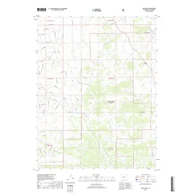
2019 Map of Dicks Peak
USGS Topo · Published 2019About this map
Pike National Forest dominates the landscape of this high-elevation Park County region, where the terrain is carved by a complex network of drainages and seasonal watercourses. The high point at Dicks Peak overlooks a series of deep valleys including Buffalo Gulch, Sheep Gulch, and Long Gulch. This 2019 survey reveals a highly developed grid of forest access roads and named trails, such as Black Beaver Rd, Pitchfork Rd, and Taos Trl, which provide entry into the backcountry from Co Rd 108. The hydrology is defined by numerous small creeks, with Currant Cr flowing through the significant Currant Creek Pass in the northeast, and the waters of Agate Cr and Little Agate Cr feeding the western slopes. These named paths and waterways trace the contemporary use of the land for recreation and resource management within the national forest system.
Find a feature on this map
57 named features on this map. Tap any name to fly to it.
Don’t see what you’re looking for? This feature index may not catch every label — zoom into the map to look around manually.
Map Details
Editions of this 2019 Dicks Peak Map
This is the sole edition of this map. No revisions or reprints were ever made.
Other maps of this area

1954 · Pueblo
USGS Topo · 1:250,000

1956 · Antero Reservoir NE
USGS Topo · 1:24,000

1956 · Guffey NW
USGS Topo · 1:24,000

1956 · Spinney Mountain
USGS Topo · 1:24,000

1956 · Cameron Mountain
USGS Topo · 1:62,500

1957 · Pueblo
USGS Topo · 1:250,000

1958 · Pueblo
USGS Topo · 1:250,000

1959 · Antero Reservoir
USGS Topo · 1:62,500

1959 · Black Mountain
USGS Topo · 1:62,500

1959 · Guffey
USGS Topo · 1:62,500