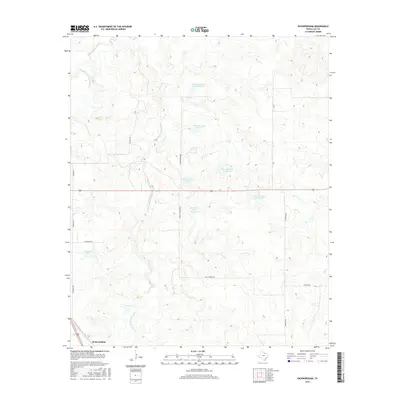
2016 Map of Dickworsham
USGS Topo · Published 2016About this map
Dickworsham anchor the southwestern corner of this Clay County landscape, where the drainage network of the Little Wichita River and its various branches defines the terrain. The hydrological system is notably complex, featuring the Dry Fork Little Wichita River and the E Fork Little Wichita River alongside an extensive series of numbered reservoirs. These include Edwards Ranch Lake Number 1 and a chain of others such as Edwards Lake Number 2 and Edwards Lake Number 3, illustrating a sophisticated water management system for ranching or agricultural purposes in North Texas.
Find a feature on this map
21 named features on this map. Tap any name to fly to it.
Don’t see what you’re looking for? This feature index may not catch every label — zoom into the map to look around manually.
Map Details
Editions of this 2016 Dickworsham Map
This is the sole edition of this map. No revisions or reprints were ever made.
Other maps of this area

1905 · Montague
USGS Topo · 1:125,000

1954 · Sherman
USGS Topo · 1:250,000

1954 · Wichita Falls
USGS Topo · 1:250,000

1956 · Henrietta
USGS Topo · 1:62,500

1958 · Wichita Falls
USGS Topo · 1:250,000

1958 · Sherman
USGS Topo · 1:250,000

1961 · Stoneburg
USGS Topo · 1:24,000
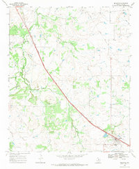
1968 · Bellevue
USGS Topo · 1:24,000
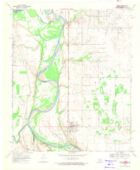
1968 · Terral
USGS Topo · 1:24,000
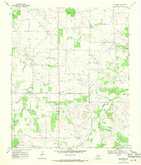
1968 · Bluegrove
USGS Topo · 1:24,000