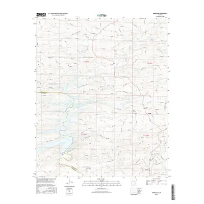
2017 Map of Dierks Dam
USGS Topo · Published 2017About this map
The Saline River flows through this southwestern Arkansas landscape, shaped significantly by the presence of Dierks Lake. The creation of the reservoir is marked by the Dierks Dam, which controls the water levels and defines the local geography. Small, scattered settlements like Burg, Euclid, and Dierks are connected by a network of rural roads such as Jefferson Ridge Rd, revealing a pattern of persistent timberland and creek-side communities.
Find a feature on this map
151 named features on this map. Tap any name to fly to it.
Don’t see what you’re looking for? This feature index may not catch every label — zoom into the map to look around manually.
Map Details
Editions of this 2017 Dierks Dam Map
This is the sole edition of this map. No revisions or reprints were ever made.
Other maps of this area

1906 · Caddo Gap
USGS Topo · 1:125,000

1913 · De Queen
USGS Topo · 1:125,000

1936 · Athens
USGS Topo · 1:48,000

1942 · Athens
USGS Topo · 1:62,500

1950 · Mcalester
USGS Topo · 1:250,000

1955 · Little Rock
USGS Topo · 1:250,000

1956 · Little Rock
USGS Topo · 1:250,000

1959 · Umpire
USGS Topo · 1:62,500

1960 · Little Rock
USGS Topo · 1:250,000

1962 · McAlester
USGS Topo · 1:250,000