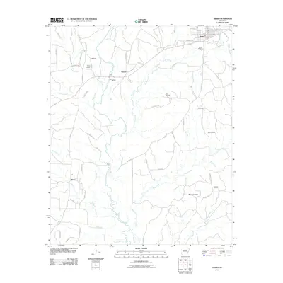
2011 Map of Dierks
USGS Topo · Published 2011About this map
The Saline River winds through Howard County in this 2011 topographic study, defining the landscape between the municipal center of Dierks and outlying settlements like Provo, Lebanon, and Mount Carmel. River crossings provide evidence of long-standing transit patterns, including the named Salt Works Bridge and traditional river crossings such as Kolb Ford and Hoodinpile Ford. The presence of numerous small cemeteries, including Greens Chapel Cemetery near Lebanon and the Wynn Cemetery further east, offers specific points of interest for genealogical research and family history mapping.
Find a feature on this map
76 named features on this map. Tap any name to fly to it.
Don’t see what you’re looking for? This feature index may not catch every label — zoom into the map to look around manually.
Map Details
Editions of this 2011 Dierks Map
This is the sole edition of this map. No revisions or reprints were ever made.
Other maps of this area

1906 · Caddo Gap
USGS Topo · 1:125,000

1913 · De Queen
USGS Topo · 1:125,000

1950 · Mcalester
USGS Topo · 1:250,000

1951 · Lockesburg
USGS Topo · 1:24,000

1951 · Mineral Springs North
USGS Topo · 1:24,000

1951 · Silver Ridge
USGS Topo · 1:24,000

1953 · Texarkana
USGS Topo · 1:250,000

1953 · El Dorado
USGS Topo · 1:250,000

1955 · Little Rock
USGS Topo · 1:250,000

1956 · Texarkana
USGS Topo · 1:250,000