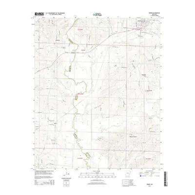
2014 Map of Dierks
USGS Topo · Published 2014About this map
The Saline River carves a winding path along the border of Howard and Sevier Counties in this southwest Arkansas landscape. The city of Dierks sits at the northern edge, serving as a hub for the region's timber-related road network. Smaller, dispersed settlements like Lebanon, Bethany, and Provo reflect a traditional pattern of community life anchored by local family names and churches. Several historical crossing points are identified along the river, including the Salt Works Bridge and Hoodinpile Ford, which suggest earlier industrial or transit routes before modern infrastructure became dominant.
Find a feature on this map
93 named features on this map. Tap any name to fly to it.
Don’t see what you’re looking for? This feature index may not catch every label — zoom into the map to look around manually.
Map Details
Editions of this 2014 Dierks Map
This is the sole edition of this map. No revisions or reprints were ever made.
Other maps of this area

1906 · Caddo Gap
USGS Topo · 1:125,000

1913 · De Queen
USGS Topo · 1:125,000

1950 · Mcalester
USGS Topo · 1:250,000

1951 · Lockesburg
USGS Topo · 1:24,000

1951 · Mineral Springs North
USGS Topo · 1:24,000

1951 · Silver Ridge
USGS Topo · 1:24,000

1953 · Texarkana
USGS Topo · 1:250,000

1953 · El Dorado
USGS Topo · 1:250,000

1955 · Little Rock
USGS Topo · 1:250,000

1956 · Texarkana
USGS Topo · 1:250,000