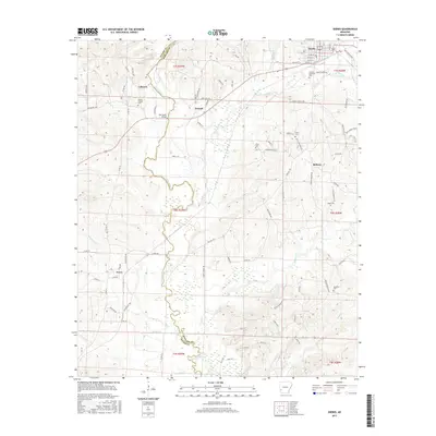
2017 Map of Dierks
USGS Topo · Published 2017About this map
The Saline River carves a winding path along the boundary between Sevier and Howard counties, serving as the primary geographical anchor for this portion of Southwest Arkansas. The town of Dierks serves as the local hub, characterized by a grid of streets such as Front St and Mill Complex Rd, and the presence of Clanson Memorial Park. The landscape is a mix of small settlements and rural homesteads, connected by a network of timber and private roads like Weyco Rd and Possum Hollow Rd.
Find a feature on this map
91 named features on this map. Tap any name to fly to it.
Don’t see what you’re looking for? This feature index may not catch every label — zoom into the map to look around manually.
Map Details
Editions of this 2017 Dierks Map
This is the sole edition of this map. No revisions or reprints were ever made.
Other maps of this area

1906 · Caddo Gap
USGS Topo · 1:125,000

1913 · De Queen
USGS Topo · 1:125,000

1950 · Mcalester
USGS Topo · 1:250,000

1951 · Lockesburg
USGS Topo · 1:24,000

1951 · Mineral Springs North
USGS Topo · 1:24,000

1951 · Silver Ridge
USGS Topo · 1:24,000

1953 · Texarkana
USGS Topo · 1:250,000

1953 · El Dorado
USGS Topo · 1:250,000

1955 · Little Rock
USGS Topo · 1:250,000

1956 · Texarkana
USGS Topo · 1:250,000