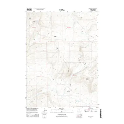
2015 Map of Difficulty
USGS Topo · Published 2015About this map
Paradise sits in a high-elevation landscape of the Carbon County backcountry, where the northern reaches of the Freezeout Mountains meet the Shirley Mountains. The drainage of the Medicine Bow River dictates the movement of water and ranching activity through this area, supported by local landmarks like Indian Spring and Sheep Spring. A network of named draws and basins, including Walsh Draw and Little Basin, illustrates the complex geography that defines this region.
Find a feature on this map
28 named features on this map. Tap any name to fly to it.
Don’t see what you’re looking for? This feature index may not catch every label — zoom into the map to look around manually.
Map Details
Editions of this 2015 Difficulty Map
This is the sole edition of this map. No revisions or reprints were ever made.
Other maps of this area

1893 · Fort Steele
USGS Topo · 1:125,000

1914 · Hanna
USGS Topo · 1:62,500

1914 · Saddleback Hills
USGS Topo · 1:62,500

1921 · Saddleback Hills
USGS Topo · 1:62,500

1953 · The Q Ranch
USGS Topo · 1:24,000

1953 · T E Ranch
USGS Topo · 1:24,000

1954 · Rawlins
USGS Topo · 1:250,000

1955 · Casper
USGS Topo · 1:250,000

1958 · Rawlins
USGS Topo · 1:250,000

1958 · Casper
USGS Topo · 1:250,000