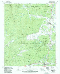
1988 Map of Dillard
USGS Topo · Published 1988About this map
Black Rock Mountain State Park and the high ridges of the Blue Ridge divide define this mountain landscape where Georgia and North Carolina meet. In the late 1980s, the valley floor shows a concentration of local institutions and small settlements along the Little Tennessee River. To the north, Dillard and Rabun Gap serve as focal points for the community, anchored by the Rabun Gap Nacoochee Sch.
Find a feature on this map
126 named features on this map. Tap any name to fly to it.
Don’t see what you’re looking for? This feature index may not catch every label — zoom into the map to look around manually.
Map Details
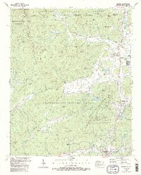
Editions of this 1988 Dillard Map
2 editions found
Other maps of this area

1886 · Dahlonega
USGS Topo · 1:125,000

1886 · Walhalla
USGS Topo · 1:125,000

1891 · Cowee
USGS Topo · 1:125,000

1892 · Dahlonega
USGS Topo · 1:125,000

1892 · Walhalla
USGS Topo · 1:125,000

1896 · Walhalla
USGS Topo · 1:125,000

1896 · Dahlonega
USGS Topo · 1:125,000

1897 · Cowee
USGS Topo · 1:125,000

1903 · Dahlonega
USGS Topo · 1:125,000

1907 · Cowee
USGS Topo · 1:125,000