
1955 Map of Dillon Mtn
USGS Topo · Published 1957About this map
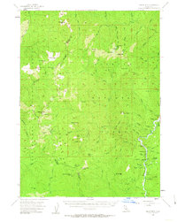
The Klamath National Forest and Siskiyou National Forest converge in this mid-1950s survey of the Klamath River watershed. The map documents a sparsely populated landscape where human activity is defined by fire lookouts and isolated homesteads. Significant landmarks include the Kennedy Homestead and the Cottage Grove settlement near the riverbanks. The local economy and infrastructure of the era are reflected in the presence of the Ti Bar School and scattered mining operations such as the Sisson Mine and Blue Nose Mine.
Find a feature on this map
82 named features on this map. Tap any name to fly to it.
Don’t see what you’re looking for? This feature index may not catch every label — zoom into the map to look around manually.
Map Details
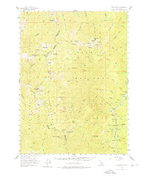
Editions of this 1955 Dillon Mtn Map
3 editions found
Other maps of this area

1914 · Seiad
USGS Topo · 1:125,000

1922 · Preston Peak
USGS Topo · 1:125,000

1922 · Seiad
USGS Topo · 1:125,000

1925 · Hoopa
USGS Topo · 1:125,000

1945 · Ship Mountain
USGS Topo · 1:62,500

1945 · Gasquet
USGS Topo · 1:62,500

1945 · Tectah Creek
USGS Topo · 1:62,500

1948 · Weed
USGS Topo · 1:250,000

1950 · Weed
USGS Topo · 1:250,000

1951 · Gasquet
USGS Topo · 1:62,500