
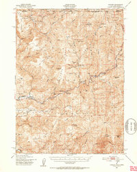
1951 Map of Gasquet
USGS Topo · Published 1953About this map
Mining and forestry define the character of this mid-century landscape along the Smith River in Del Norte County. The settlement of Gasquet serves as a central point, situated near Darlingtonia and the Ranger Sta along the main Highway. The map reveals a high concentration of extraction activity, from the Big Boy Mine and Holiday Mine in the north to the Morrell Placer Mine and Tyson Chrome Mine further south. These sites, along with several unnamed Mines, illustrate the industrial reliance on the region's mineral wealth during the early 1950s.
Find a feature on this map
92 named features on this map. Tap any name to fly to it.
Don’t see what you’re looking for? This feature index may not catch every label — zoom into the map to look around manually.
Map Details
Editions of this 1951 Gasquet Map
5 editions found
Other maps of this area

1917 · Kerby
USGS Topo · 1:125,000

1918 · Kerby
USGS Topo · 1:125,000

1922 · Preston Peak
USGS Topo · 1:125,000

1929 · Crescent City
USGS Topo · 1:125,000

1945 · Ship Mountain
USGS Topo · 1:62,500

1945 · Kerby
USGS Topo · 1:125,000

1945 · Gasquet
USGS Topo · 1:62,500

1945 · Point St. George
USGS Topo · 1:62,500

1945 · Requa
USGS Topo · 1:62,500

1948 · Weed
USGS Topo · 1:250,000