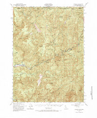
1951 Map of Gasquet
USGS Topo · Published 1968About this map
The Middle Fork Smith River and the North Fork Smith River converge near the settlement of Gasquet, forming a landscape defined by sharp ridges and deep river canyons. This 1951 culture revision shows a region heavily influenced by mineral extraction and early forest management, with numerous mining operations including the Holiday Mine, Browns Mine, and the Tyson Chrome Mine scattered across the high terrain. These sites, along with the Morrell Placer Mine, point to the enduring search for chrome and gold in the Klamath Mountains.
Find a feature on this map
74 named features on this map. Tap any name to fly to it.
Don’t see what you’re looking for? This feature index may not catch every label — zoom into the map to look around manually.
Map Details
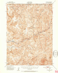
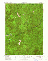
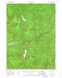
Editions of this 1951 Gasquet Map
5 editions found

Other maps of this area

1917 · Kerby
USGS Topo · 1:125,000

1918 · Kerby
USGS Topo · 1:125,000

1922 · Preston Peak
USGS Topo · 1:125,000

1929 · Crescent City
USGS Topo · 1:125,000

1945 · Ship Mountain
USGS Topo · 1:62,500

1945 · Kerby
USGS Topo · 1:125,000

1945 · Gasquet
USGS Topo · 1:62,500

1945 · Point St. George
USGS Topo · 1:62,500

1945 · Requa
USGS Topo · 1:62,500

1948 · Weed
USGS Topo · 1:250,000