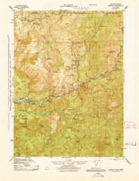
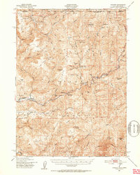
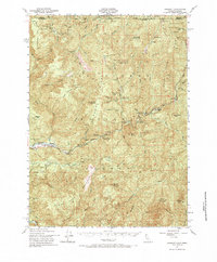
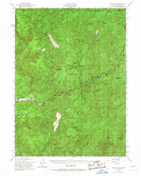
1951 Map of Gasquet
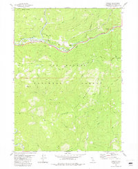
USGS Topo · Published 1962About this map
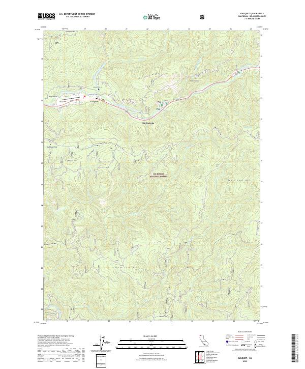
Gasquet and Darlingtonia serve as the primary hubs of human activity along the Middle Fork Smith River in this mid-century survey of the California-Oregon borderlands. The landscape is dominated by the steep drainage basins of the North Fork Smith River and South Fork Smith River, where the terrain rises sharply to Gasquet Mountain and Washington Peak. The industrial character of the era is evident in the numerous mineral claims scattered throughout the Six Rivers National Forest, including the Tyson Chrome Mine and the Merrell Placer Mine.
Find a feature on this map
69 named features on this map. Tap any name to fly to it.
Don’t see what you’re looking for? This feature index may not catch every label — zoom into the map to look around manually.
Map Details
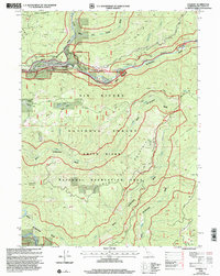
Editions of this 1951 Gasquet Map
5 editions found

Historical Maps of Rockland Through Time
8 maps found