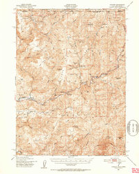
1951 Map of Gasquet
USGS Topo · Published 1953About this map
Smith River forks and the early Redwood Highway corridor define this rugged corner of the Siskiyou National Forest along the Oregon-California border. In the early 1950s, the landscape was a hub of mineral extraction and forest management, evidenced by numerous claims such as the Tyson Chrome Mine and the Morrell Placer Mine. Small riverside settlements like Gasquet and Darlingtonia served as gateways to the high country, where the Patrick Creek Guard Sta and various lookout points monitored the timberlands. The intricate drainage network of Hurdygurdy Creek and Coon Creek feeds into the main river systems, while remnants of hydraulic operations like the French Hill Canal suggest a history of intensive land use. This period shows the region balanced between its mining roots and its emerging role as a recreational destination, with numerous campgrounds like Cedar Flat Camp Ground established along the highway.
Find a feature on this map
77 named features on this map. Tap any name to fly to it.
Don’t see what you’re looking for? This feature index may not catch every label — zoom into the map to look around manually.
Map Details
Editions of this 1951 Gasquet Map
5 editions found

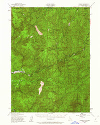
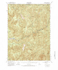
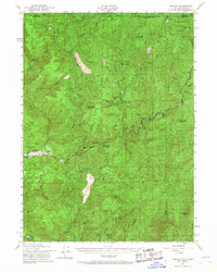
Other maps of this area

1917 · Kerby
USGS Topo · 1:125,000

1918 · Kerby
USGS Topo · 1:125,000

1922 · Preston Peak
USGS Topo · 1:125,000

1929 · Crescent City
USGS Topo · 1:125,000

1945 · Ship Mountain
USGS Topo · 1:62,500

1945 · Kerby
USGS Topo · 1:125,000

1945 · Gasquet
USGS Topo · 1:62,500

1945 · Point St. George
USGS Topo · 1:62,500

1945 · Requa
USGS Topo · 1:62,500

1948 · Weed
USGS Topo · 1:250,000