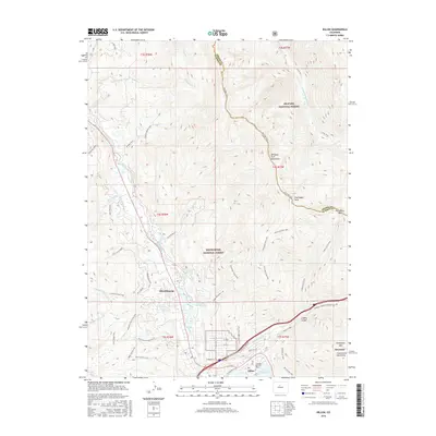
2016 Map of Dillon
USGS Topo · Published 2016About this map
Silverthorne and Dillon serve as the primary hubs in this high-altitude corridor, where the Blue River flows toward the expansive Dillon Reservoir. The landscape is defined by the sharp transition from the valley floor to the soaring heights of the Williams Fork Mountains and Ptarmigan Peak, with the Continental Divide visible to the east. This modern survey illustrates the extensive recreational infrastructure of the region, featuring a dense network of paths such as the Ute Peak Trail, Angler Mountain Trail, and Gore Range Trail.
Find a feature on this map
62 named features on this map. Tap any name to fly to it.
Don’t see what you’re looking for? This feature index may not catch every label — zoom into the map to look around manually.
Map Details
Editions of this 2016 Dillon Map
This is the sole edition of this map. No revisions or reprints were ever made.
Other maps of this area

1924 · Montezuma
USGS Topo · 1:62,500

1924 · Fraser
USGS Topo · 1:62,500

1926 · Fraser
USGS Topo · 1:62,500

1926 · Montezuma
USGS Topo · 1:62,500

1929 · Dillon
USGS Topo · 1:62,500

1933 · Montezuma
USGS Topo · 1:62,500

1933 · Ute Peak
USGS Topo · 1:62,500

1934 · Dillon
USGS Topo · 1:62,500

1937 · Ute Peak
USGS Topo · 1:62,500

1953 · Denver
USGS Topo · 1:250,000