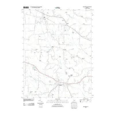
2010 Map of Dillsboro
USGS Topo · Published 2010About this map
Dillsboro and Moores Hill anchor this rural landscape in southeastern Indiana, where the terrain is defined by a dense network of ridges and hollows. The area's settlement history is preserved through an exceptionally high concentration of family and community burial grounds, including the Todd Cemetery, Forest Hill Cemetery, and Mc Kinstry Cemetery. These sites are scattered among small unincorporated communities like Sparta, Cold Springs, and Chesterville, suggesting a long-standing pattern of agricultural homesteads and tight-knit local neighborhoods.
Find a feature on this map
104 named features on this map. Tap any name to fly to it.
Don’t see what you’re looking for? This feature index may not catch every label — zoom into the map to look around manually.
Map Details
Editions of this 2010 Dillsboro Map
This is the sole edition of this map. No revisions or reprints were ever made.
Other maps of this area

1915 · Lawrenceburg
USGS Topo · 1:48,000

1928 · Lawrenceburg
USGS Topo · 1:62,500

1932 · Lawrenceburg
USGS Topo · 1:62,500

1943 · Aberdeen
USGS Topo · 1:24,000

1943 · Aurora
USGS Topo · 1:24,000

1943 · Guilford
USGS Topo · 1:24,000

1946 · Milan
USGS Topo · 1:24,000

1946 · Pierceville
USGS Topo · 1:24,000

1953 · Aberdeen
USGS Topo · 1:24,000

1953 · Aurora
USGS Topo · 1:24,000