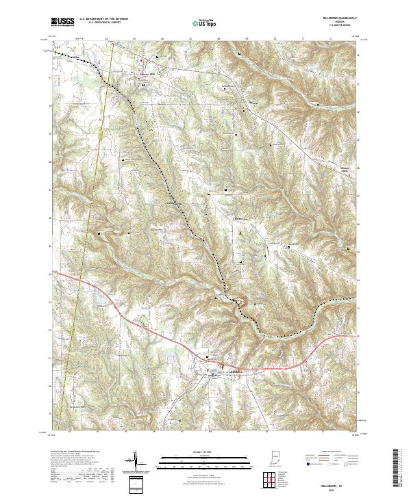
2022 Map of Dillsboro
USGS Topo · Published 2022About this map
Dillsboro and Moores Hill anchor this corner of Dearborn and Ripley Counties, where the landscape transitions through a series of pronounced topographic features. The CSX Transportation line cuts across the northern terrain, passing through Moores Hill and past the Forest Hill Cem. A remarkable number of family and community burial grounds are found throughout the uplands, including Heaton Cem, Bedunnah Cem, and McKinstry Cem, suggesting a long-established rural settlement pattern tied to the ridges.
Find a feature on this map
107 named features on this map. Tap any name to fly to it.
Don’t see what you’re looking for? This feature index may not catch every label — zoom into the map to look around manually.
Map Details
Editions of this 2022 Dillsboro Map
This is the sole edition of this map. No revisions or reprints were ever made.
Other maps of this area

1915 · Lawrenceburg
USGS Topo · 1:48,000

1928 · Lawrenceburg
USGS Topo · 1:62,500

1932 · Lawrenceburg
USGS Topo · 1:62,500

1943 · Aberdeen
USGS Topo · 1:24,000

1943 · Aurora
USGS Topo · 1:24,000

1943 · Guilford
USGS Topo · 1:24,000

1946 · Milan
USGS Topo · 1:24,000

1946 · Pierceville
USGS Topo · 1:24,000

1953 · Aberdeen
USGS Topo · 1:24,000

1953 · Aurora
USGS Topo · 1:24,000