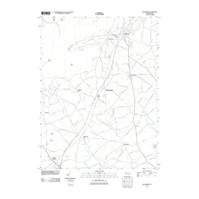
2010 Map of Dillsburg
USGS Topo · Published 2010About this map
Dillsburg and the surrounding agricultural townships of Adams and York counties are captured here during a period of steady residential expansion along the primary road corridors. The landscape is defined by the drainage systems of Dogwood Run, Latimore Creek, and the North Branch Bermudian Creek, which have historically dictated the placement of early industry and settlement. Evidence of the area's agrarian roots remains visible at Deardorffs Mill and in the numerous family-named hills like Chestnut Hill, Boners Hill, and Stone Head.
Find a feature on this map
97 named features on this map. Tap any name to fly to it.
Don’t see what you’re looking for? This feature index may not catch every label — zoom into the map to look around manually.
Map Details
Editions of this 2010 Dillsburg Map
This is the sole edition of this map. No revisions or reprints were ever made.
Other maps of this area

1904 · Carlisle
USGS Topo · 1:62,500

1906 · New Cumberland
USGS Topo · 1:62,500

1908 · Gettysburg
USGS Topo · 1:62,500

1920 · Hanover
USGS Topo · 1:62,500

1922 · Hanover
USGS Topo · 1:62,500

1942 · Gettysburg
USGS Topo · 1:125,000

1943 · New Cumberland
USGS Topo · 1:62,500

1943 · Carlisle
USGS Topo · 1:62,500
1944 · Biglerville
USGS Topo · 1:31,680

1944 · Hampton
USGS Topo · 1:31,680