2023 Map of Dillsburg
USGS Topo · Published 2023About this map
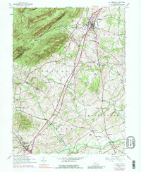
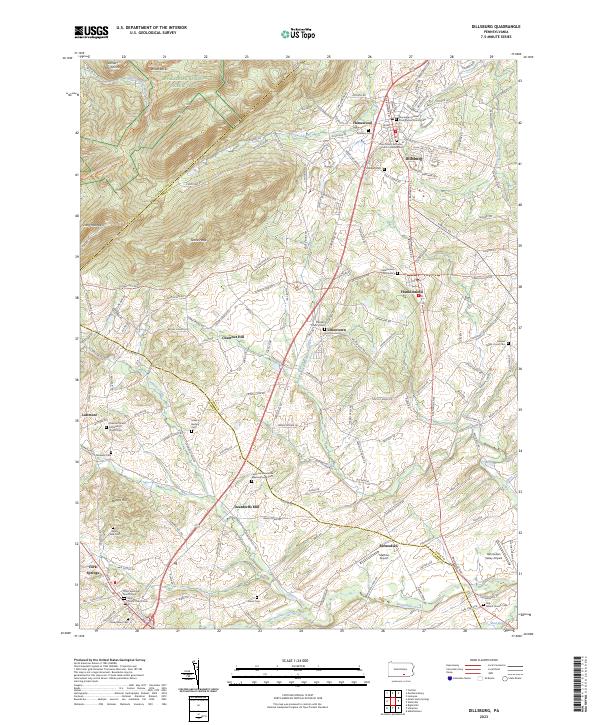
Dillsburg serves as a central hub in this survey of York and Adams Counties, where the lowlands of the Bermudian Creek watershed meet the northern ridges of Long Mountain and Stone Head. The landscape is defined by its deep religious and community roots, evidenced by numerous historical sites such as the Monaghan United Presbyterian Church and the Latimore Mennonite Meetinghouse Cemetery. The terrain is famously crossed by the Appalachian National Scenic Trail and the Mason Dixon Trail, which skirt the high ground near White Rocks. Small settlements like Franklintown, Uniontown, and York Springs are connected by a network of rural roads that pass through agricultural valleys, while landmarks like Deardorffs Mill and the Bermudian Valley Airpark highlight the area's diverse economic and transit history.
Find a feature on this map
51 named features on this map. Tap any name to fly to it.
Don’t see what you’re looking for? This feature index may not catch every label — zoom into the map to look around manually.
Map Details
Editions of this 2023 Dillsburg Map
This is the sole edition of this map. No revisions or reprints were ever made.