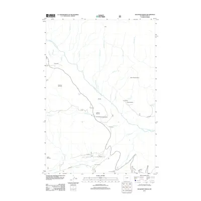
2012 Map of Dillworth Bench
USGS Topo · Published 2012About this map
The Clarks Fork Yellowstone River carves a deep path through this Wyoming landscape, defining the transition between high plateaus and river valleys. The topography is dominated by the expansive Dillworth Bench and Upper Dillworth Bench, which provide flat, elevated ground above the river's path. Private ranching interests are well-established across the terrain, with several family-named landmarks such as Ellsbury Ranch, Corbitt Ranch, and Morrison Ranch marking the territory.
Find a feature on this map
36 named features on this map. Tap any name to fly to it.
Don’t see what you’re looking for? This feature index may not catch every label — zoom into the map to look around manually.
Map Details
Editions of this 2012 Dillworth Bench Map
This is the sole edition of this map. No revisions or reprints were ever made.
Other maps of this area

1896 · Crandall Creek
USGS Topo · 1:125,000

1899 · Crandall
USGS Topo · 1:125,000

1949 · Pat O'Hara Mountain
USGS Topo · 1:62,500

1950 · Deep Lake
USGS Topo · 1:62,500

1955 · Cody
USGS Topo · 1:250,000

1956 · Beartooth Butte
USGS Topo · 1:62,500

1956 · Dead Indian Peak
USGS Topo · 1:62,500

1958 · Cody
USGS Topo · 1:250,000

1962 · Cody
USGS Topo · 1:250,000

1980 · Cody
USGS Topo · 1:100,000